Prussia Maps
-
Finding Former Eastern German Place Names
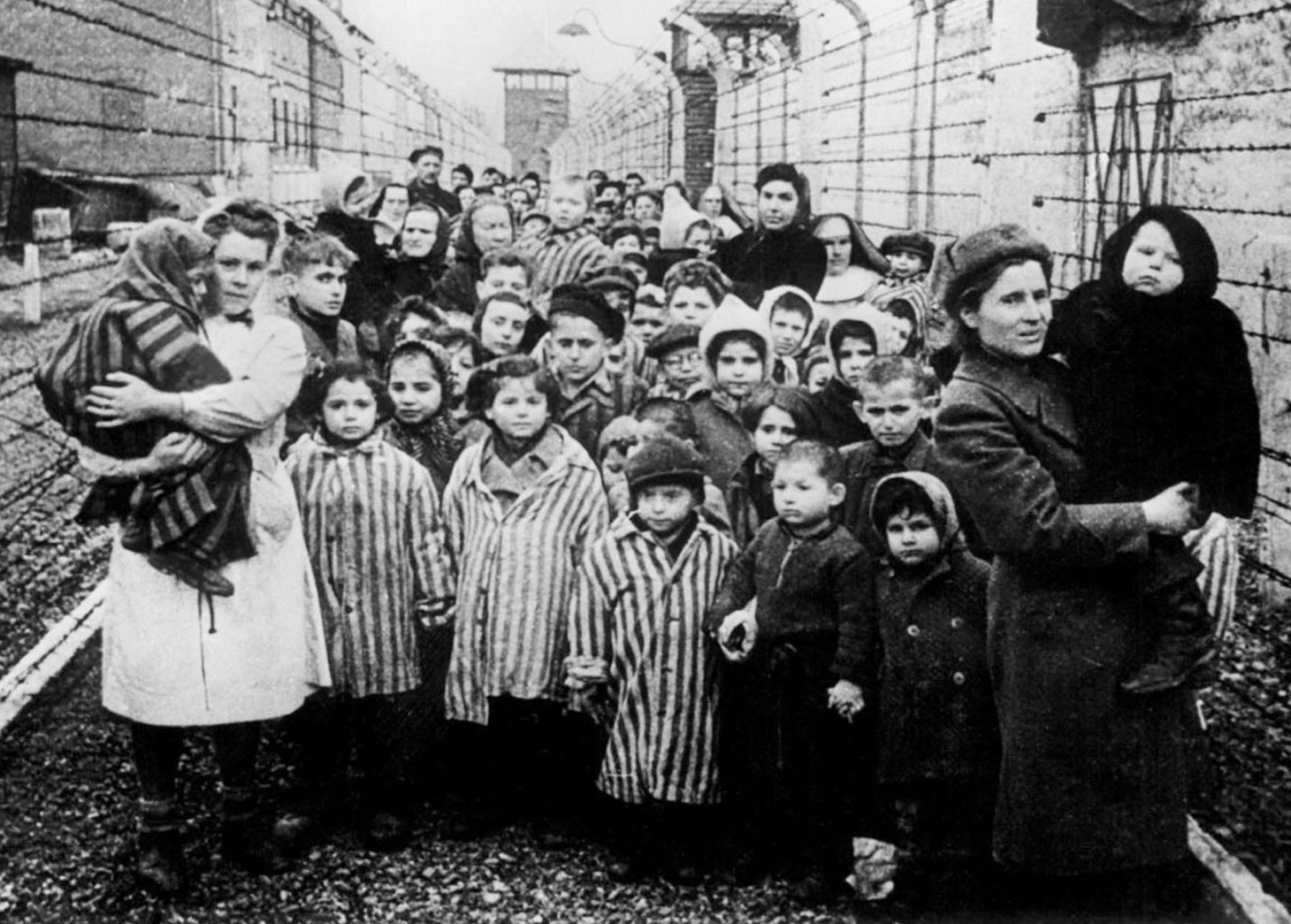
One of the great challenges in researching areas like the former German Eastern Provinces is that they are all gone- governments, people, Churches, libraries, Universities, and yes, in many cases, houses and villages as well. In an effort to help me, and perhaps others, identify place names, I am creating this document with its eclectic cross reference materials. Hopefully these documents, websites, etc. will prove useful to those of us who have difficulty in finding ‘our family’s’ former German places and locations. Former Prussian Places & Locations (Westpreußen u. mehr/ West Prussia & more) Documents Ravenstein’s Atlas des Deutschen Reichs 9000-Village-Names-in-Prussia 1.5 MB Errata for document: Zeyersvorderkampen = Kępiny Małe…
-
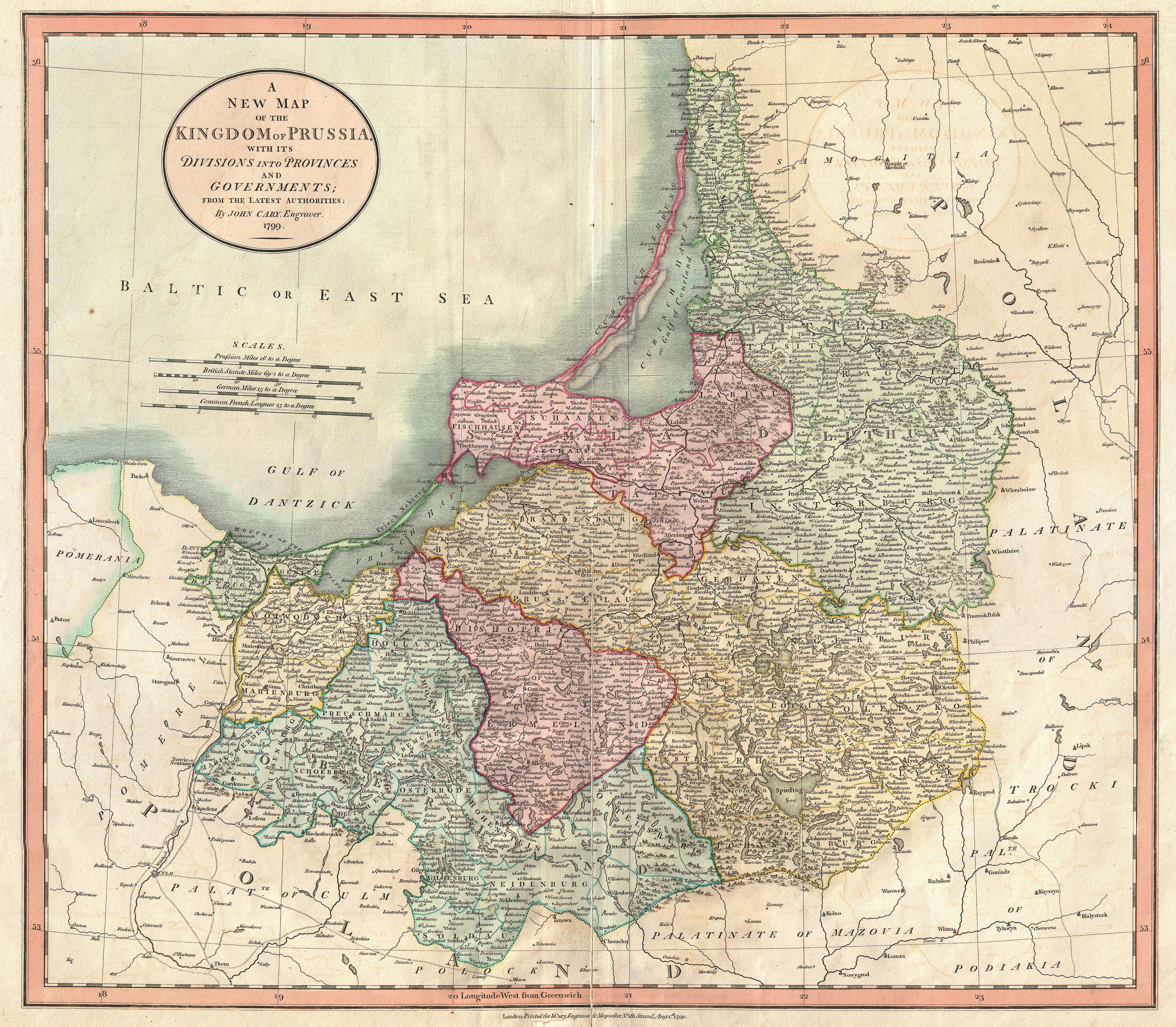
Pre-WW2 Maps of Poland & the former German East
In keeping with my map theme, I have provided links and pointers to what I consider 4 of the Internet’s best sites for genealogically useful maps covering the regions of pre-WW2 Poland (Polska) and the former German Eastern Provinces (mainly, Ost und West Preussen, Silesian, Pommern). When used in combination with current map tools such as Google Maps, you should meet with fairly high success in finding old place locations, names, etc. At least, I have had that good fortune. Kartenmeister The most comprehensive database of its kind in the world. It contains 90820 locations with over 38.691 name changes once, and 5,500 twice and more. All locations are EAST…
-
Evolution of Germany from 1867
The territorial evolution of Germany from 1867 to today. This video is in German although hopefully the graphics will be understandable to those who speak no German. Die Geschichte des deutschen Staates seit 1867 – staatliche und territoriale Entwicklung. Didaktikvideo zur staatlichen und territorialen Entwicklung der Bundesrepublik Deutschland.
You May Also Like
Pre-WW2 Maps of Poland & the former German East